Serwis wymaga plików cookies do prawidłowego działania strony. Korzystanie z serwisu bez zmiany ustawień dla plików cookies oznacza, że będą one zapisywane w pamięci urządzenia. Ustawienia te można zmieniać w przeglądarce internetowej.
The best Polish website dedicated to the Greek island Crete and to a small extent of continental Greece. You will find useful information related to visiting Crete that goes beyond the offer of optional tours. On the website you will also find descriptions of the most interesting places that we visited by visiting this largest Greek island. The content complements the current news, photographs and recipes of Greek cuisine.
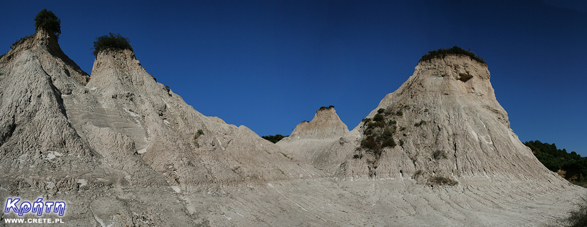
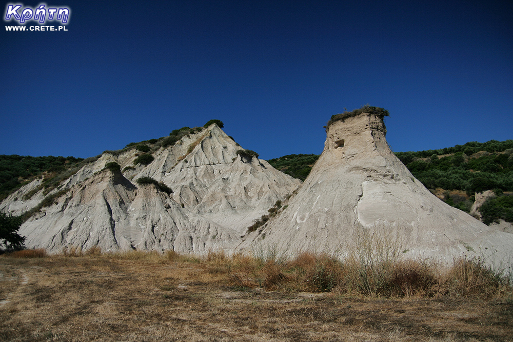
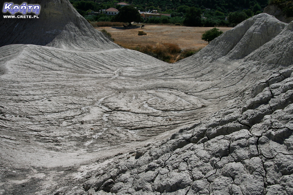
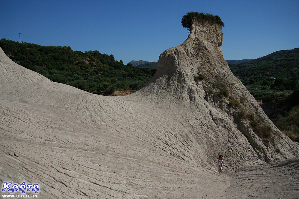
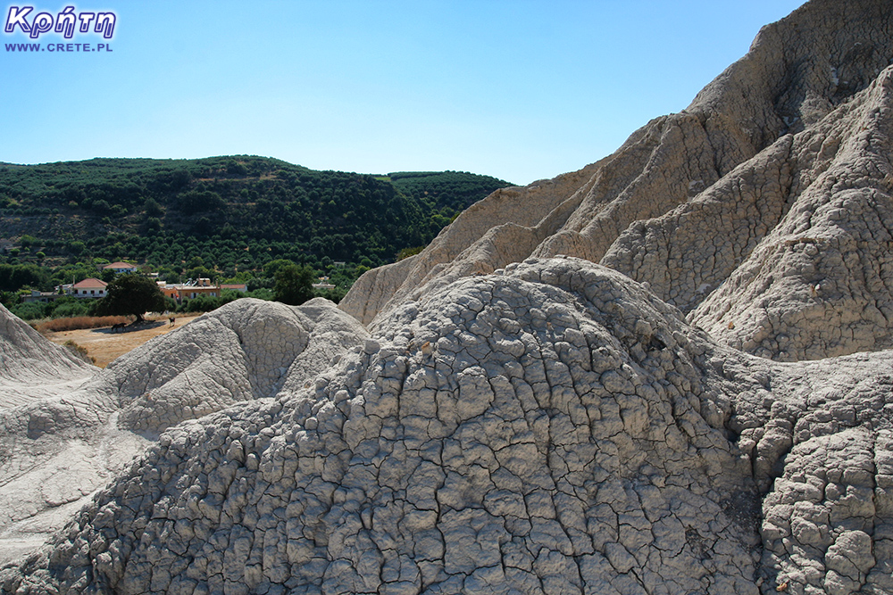
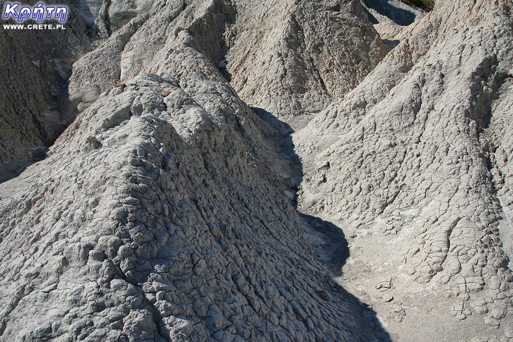
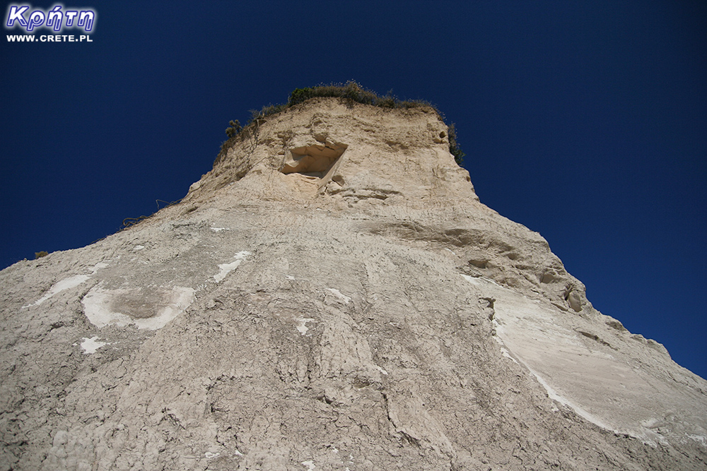
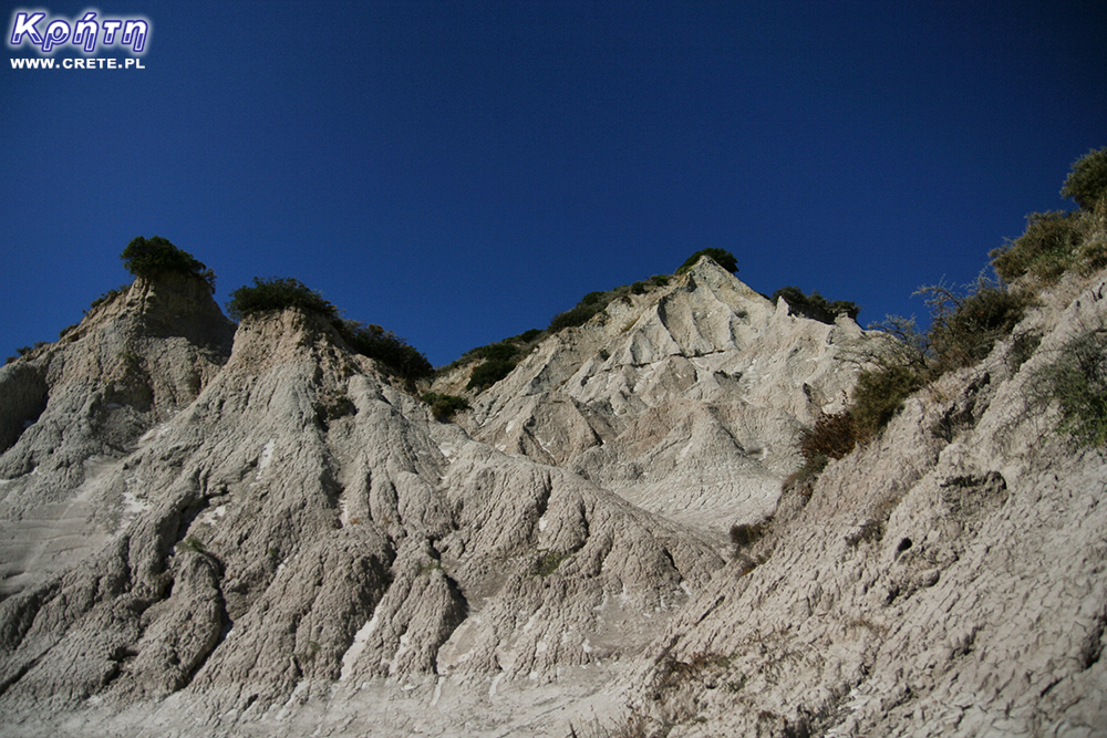
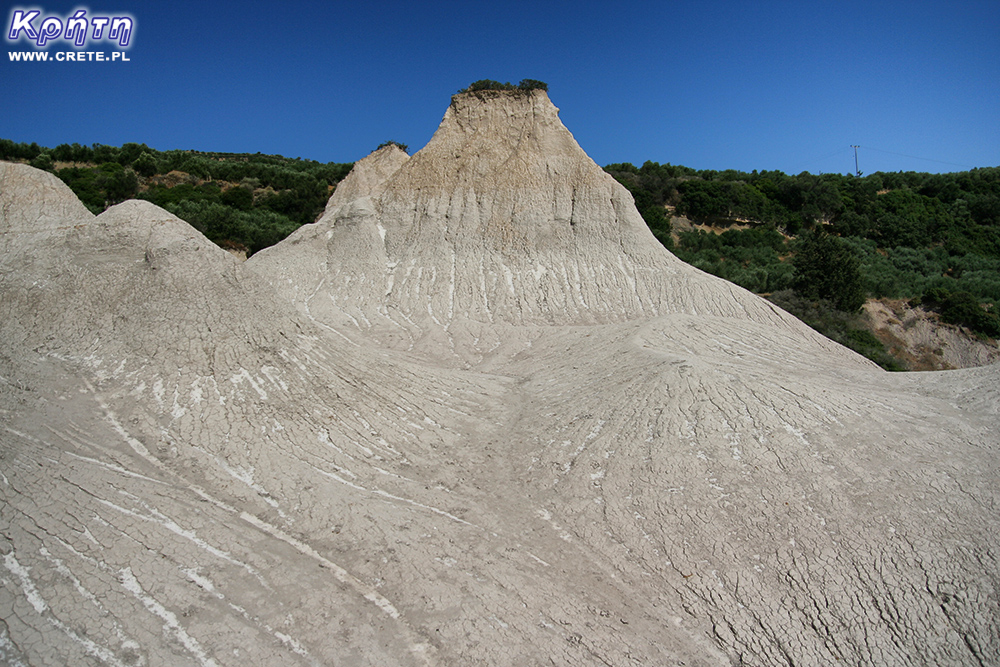
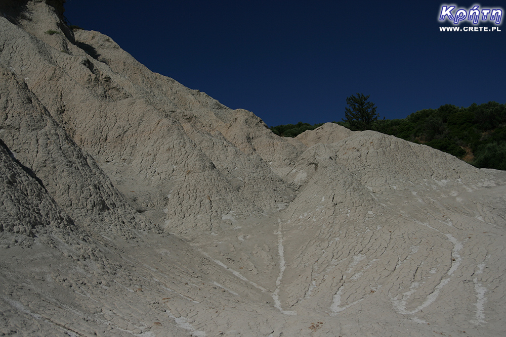
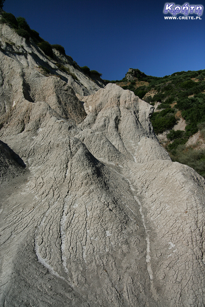
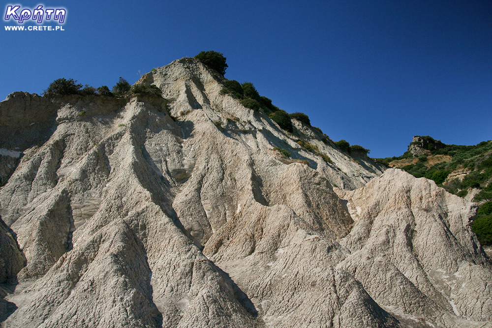
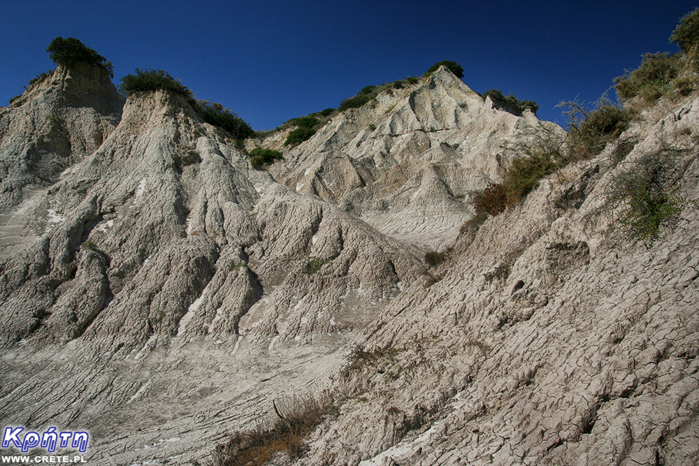
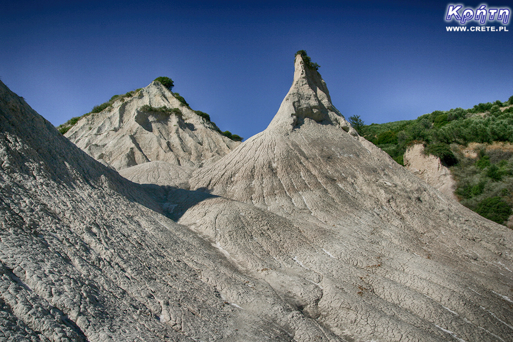
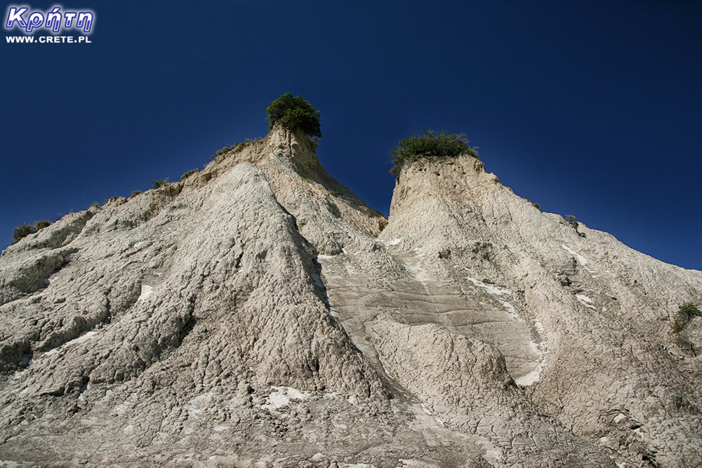
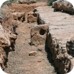
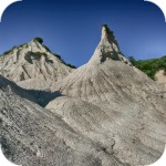
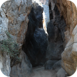
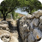
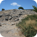
Komolithi - earth pyramids in the town of Potamida
The fact that Crete can surprise you have had the opportunity to see many times. Another proof for this claim is in the village of Potamida. On the edge of this settlement grows a complex of clay mounds called Komolithi (Komolithoi). These earth pyramids, referred to as the Greek Cappadocia, form one of the strangest and most interesting landscapes in Crete.
We found information on the pyramids in the village of Potamida on the internet in 2009, when we were preparing for our next trip to Crete. We quickly joined this place to one of the routes we intended to cross. Needless to say, we have obviously achieved this goal. After this trip about the Potamid, we mentioned in our second subjective guide. We decided, however, that this place should also be included in our map of attractions in Crete. The more so because we have not found any mention of it in any Crete guide we know about. The information about the pyramids in Potamida came from several Greek publications and the portal https://www.geocaching.com/play .
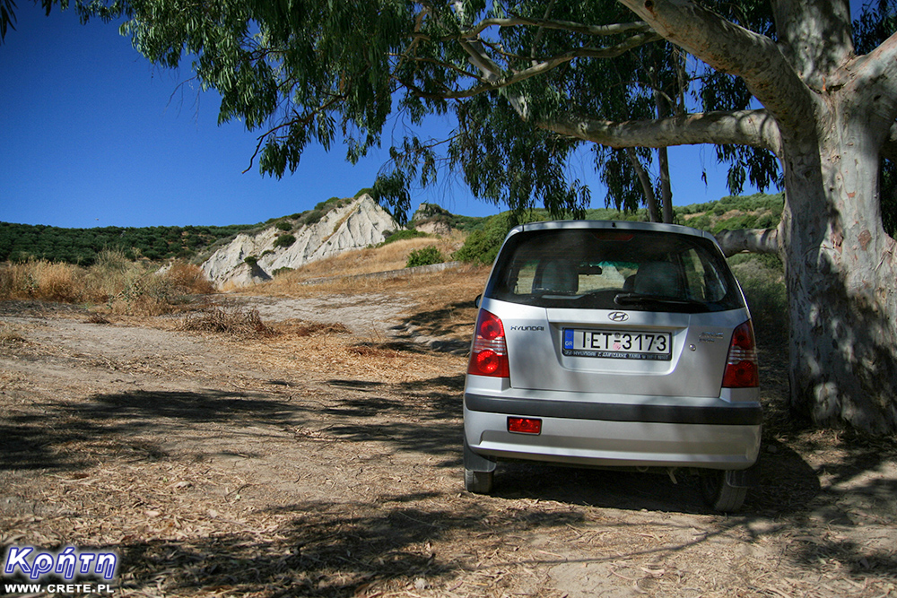
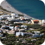
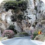
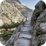
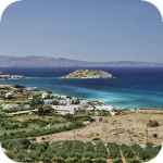
The small and not very large village of Potamida is located in the Kissamos district about 35 km west of Chania. Only a few kilometers separate it from the spectacular Gorge Topolia. To get to Komolithi, you have to cross the Potamida towards the north, turn right and continue heading north. After driving a few hundred meters, you should already notice the pyramids, which are visible on the right. When you get to the fork of roads, turn right to the side road and later you just need to look for entry to the dirt road, which you will reach to the foot of this geological phenomenon.
The pyramids are very close to the village buildings, near the Tyflos River, dry in the summer. They unexpectedly grow in the middle of a fertile field, which makes the landscape they create unique. His surrealism was appreciated by NASA, which in July 2016 published a photo of the Cretan cones as Earth Science Picture of the Day (EPOD): http://epod.usra.edu/blog/2016/06/eroded-hills-of-komolithi- crete.html
If you are there in the summer, you can safely climb the less steep cones that are dry during this period. In spring and autumn, attempting to approach them means wading the ankles in a waterlogged clay.
Appearance and genesis of the uprising
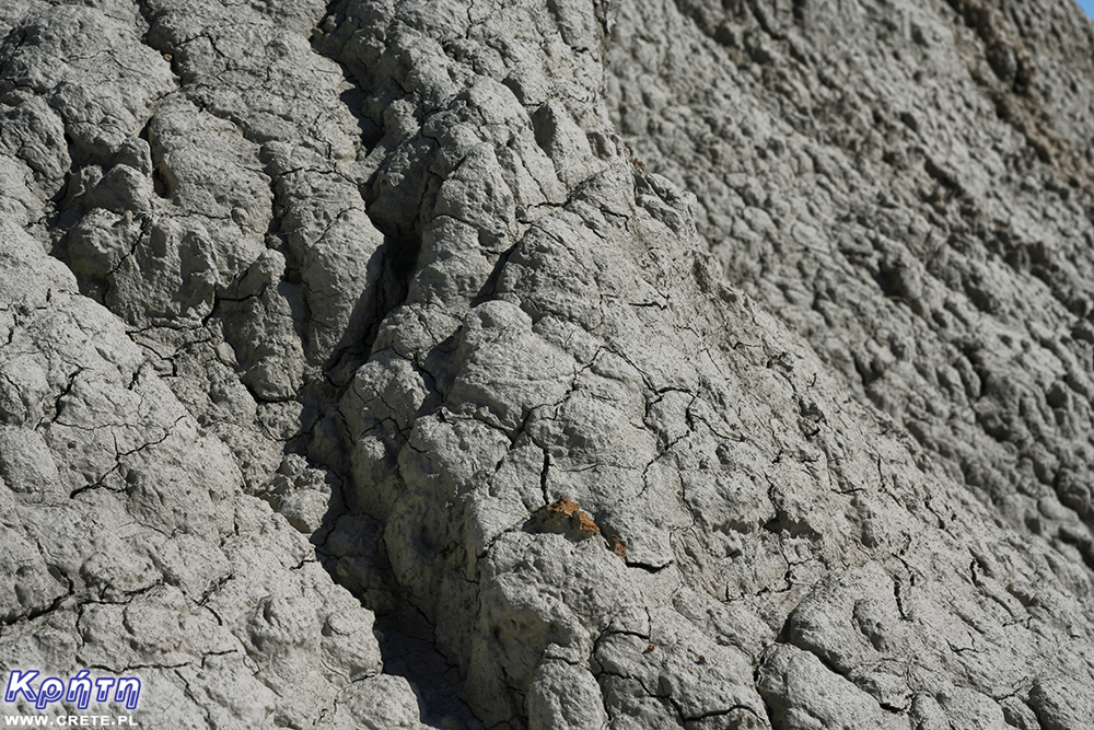
The pyramid slopes are mostly barren and only the upper part is covered with vegetation. They are almost completely made of clay. Years of erosion caused by water and wind formed this material in such unusual shapes. Researchers from the University of Crete, who recently took a closer look at this place, also found traces of pyrite called "gold of fools" and gold.
However, research into the pyramids by the Dutch in the 1970s shed more light on the mysterious pyramids. They were an attempt to determine the time of creation of these geological formations and to explain the presence of marine fossils in them, including the remains of 15-meter sharks from 7 million years ago. To understand the genesis of this geological phenomenon, it is necessary to go back 10 million years. In Miocene (the oldest epoch of the neogen), when the Mediterranean Sea was formed, Crete was part of the archipelago. Its eastern part rose above the water, while the western one, in which Komolothoi are located, was under water. This explains the presence of marine fossils and the type of geological material from which the pyramids are built.
The first study of material from Komolothi showed that these are sedimentary rocks accumulated over 7 million years ago at the turn of the ages of torton and messyn. The original assumptions about their composition, which initially were assumed to be calcareous, were overturned. However, subsequent analyzes have shown that it is cemented with coarse dust and silicon-aluminum sludge (so-called mudstone). This silt is additionally characterized by an increased ability to bind to water molecules. Subjected to pressureit is compressed and dried in appearance resembles hardened and cracked clay.
These conclusions explain in part why before the cement entered the modern building for good, the inhabitants of the surrounding villages extracted this material from the pyramids and used it to seal the roofs of their houses.
If you were interested in photos and this description and you would like to see Komolithi with your own eyes, we suggest that you can take a look here during the return trip from Elafonissi beach. For this purpose, take the way back through the Topolia gorge. For our part, we will add that passing this way again in 2016, we found that the pyramids still stand here ;-)
west
central
east
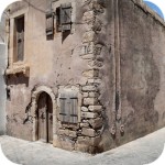
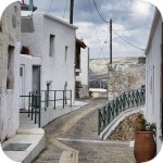
Interesting places on Crete
↤ click the appropriate part of the island to change the bottom map
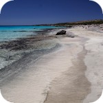
W 2002 roku Falasarna zdobyła tytuł najlepszej plaży w Grecji. Wyróżnienie to nie jest bynajmniej przypadkowe, gdyż miejsce to jak na standardy Krety jest naprawdę unikalne.
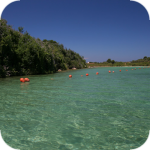
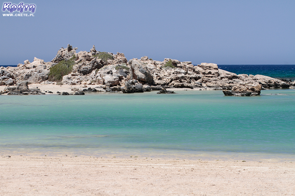
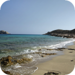
Elafonisi is a small island located at the end of the southwestern edge of Crete. A characteristic feature of Elafonisi is the shallow lagoon connecting it with Crete.
Elafonisi is a small island located at the end of the southwestern edge of Crete. A characteristic feature of Elafonisi is the shallow lagoon connecting it with Crete.
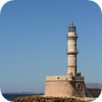
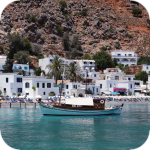
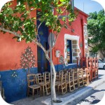
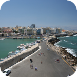
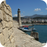
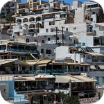
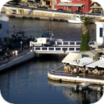
Chania (Χανιά) is the second largest (after Heraklion) city of Crete. The biggest advantage of Chania is the area of the Old Town and the beautiful Venetian Harbor.
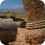
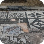
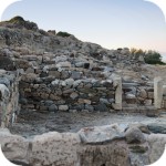
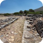
Aptera is a city whose history dates back to at least a thousand years before our era. In the peak period, about 20,000 lived in it. people, of which only 1/5 were free people.
Chania (Χανιά) is the second largest (after Heraklion) city of Crete. The biggest advantage of Chania is the area of the Old Town and the beautiful Venetian Harbor.
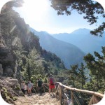
Omalos is a perfect starting point for exploring the Samaria Gorge. Located over 1,100 m above sea level extends over an area of 25 km2. Its size corresponds more or less to the size of the Lasithi Plateau.
Located 47 km from the city of Chania, it is the only freshwater lake in Crete. Its area is about 580 thousand. sqm. and the maximum depth is about 45 meters
Omalos is a perfect starting point for exploring the Samaria Gorge. Located over 1,100 m above sea level extends over an area of 25 km2. Its size corresponds more or less to the size of the Lasithi Plateau.
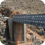
The steel crossing, which in the central part is separated from the ground by nearly 150 m, is at the leading position of the places where the longest bungee jumps are made.
Chania (Χανιά) is the second largest (after Heraklion) city of Crete. The biggest advantage of Chania is the area of the Old Town and the beautiful Venetian Harbor.
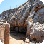
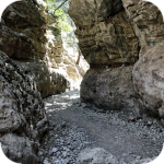
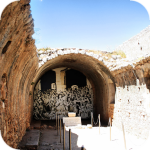
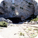
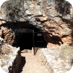
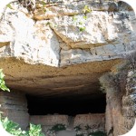
The cave is less than 1 km from Moni Gouvernetou Monastery. You will reach it using the pedestrian trail that has been marked out along the slope of the Avlaki Gorge.
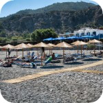
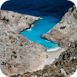
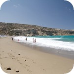
Balos is one of Crete's flagship beaches if not all of Greece. We can assure you that the landscapes you see during your trip to Balos will remain with you for a very long time.
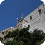
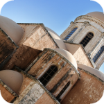
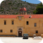
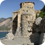
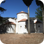
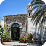
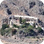
The Orthodox monastery of Agia Triada, located on the northern part of the Akrotiri peninsula, is one of the most beautiful and richest monasteries in Crete.
The Orthodox monastery of Agia Triada, located on the northern part of the Akrotiri peninsula, is one of the most beautiful and richest monasteries in Crete.
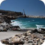
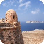
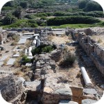
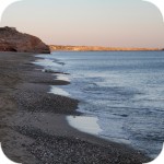
On the north-western coast of Crete, at the foot of the Gramovous peninsula, there are ruins of the ancient port of Korikos, later known as Falassarna.
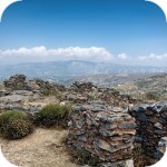
Polyrinia was one of the most important city-states of western Crete during the Hellenistic and Roman periods. It was built amphitheater on a steep hill, rising to a height of 481 meters above sea level
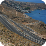
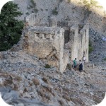
The island of Gramvousa, or in fact Imeri Gramvousa (Ήμερη Γραμβούσα), is an inseparable point of a trip that combines a stay in the Balos Lagoon with visiting the remains of a fortress located on the top of the island of Imeri Gramovousa.
There is a beach in Crete that literally makes some people shiver. This place is Seitan Limania which can be translated as Satan's Ports or Cursed Ports.
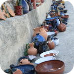
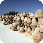
Dozens of craft workshops located in this small mountain village make Margarites one of the four main centers where traditional Cretan ceramics are made.
The date of the foundation of Moni Arkadiou (Arkadi) is not exactly known. According to tradition, the name of this church refers to the name of the Emperor Arkadiusz, who supposedly was to be its founder.
The date of the foundation of Moni Arkadiou (Arkadi) is not exactly known. According to tradition, the name of this church refers to the name of the Emperor Arkadiusz, who supposedly was to be its founder.
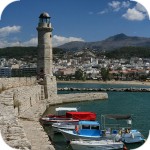
Rethymnon with around 40,000 inhabitants are the third largest city of Crete. This place was populated already in the Minoan period. Historically, the city was an important commercial center.
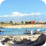
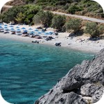
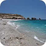
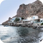
Skinaria is a small beach located along a small bay, whose outlet on both sides ends with a rocky coast. It is still a little-known place overlooked by mass tourism
Skinaria is a small beach located along a small bay, whose outlet on both sides ends with a rocky coast. It is still a little-known place overlooked by mass tourism
According to Greek mythology, Zeus hid (and perhaps even gave birth) in the Ida cave. This myth is the greatest asset of this cave, which is not as interesting and beautiful as the Dikte cave.
Tripiti is a small beach covered with a mixture of gray sand, gravel and stones. Despite the fact that the beach is unorganized and has a semi-natural appearance, one small tavern works here.
Tripiti is a small beach covered with a mixture of gray sand, gravel and stones. Despite the fact that the beach is unorganized and has a semi-natural appearance, one small tavern works here.
Tripiti is a small beach covered with a mixture of gray sand, gravel and stones. Despite the fact that the beach is unorganized and has a semi-natural appearance, one small tavern works here.
Plakias is a perfect place for people who like to spend time hiking. In the area of the town and the surrounding area, there are several hiking trails that lead to interesting beaches.
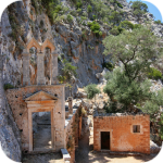
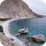
Currently, the lower monastery is still not open to the public and is not used by the monks. The buildings of the upper monastery have undergone partial renovation and are the main seat of the Preveli monastery.
Currently, the lower monastery is still not open to the public and is not used by the monks. The buildings of the upper monastery have undergone partial renovation and are the main seat of the Preveli monastery.
Currently, the lower monastery is still not open to the public and is not used by the monks. The buildings of the upper monastery have undergone partial renovation and are the main seat of the Preveli monastery.
The Kourtaliotiko Gorge, also known as the Asomatos Gorge, is perhaps one of the most spectacular natural attractions available in the central part of Crete.
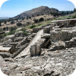
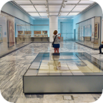
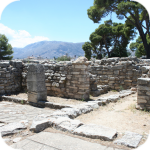
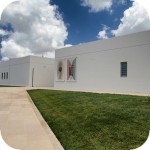
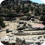
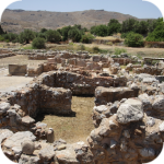
Agia Triada is a small Minoan archaeological site in the south of Crete, located near Timpaki, located on the western slope of the hill about 40 meters above sea level.
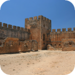
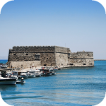
This fortress is a perfect example of Crete's multiculturalism. Located today in Greek hands, it was built by the Venetians, but is called a name taken from the Turkish language.
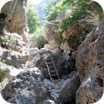
Rouvas Gorge is one of the most interesting places in this part of Crete. The interesting trail leads in a perfect way to the changing appearance of this gorge.
Matala is one of the most popular towns not only of the southern coast but also of the whole of Crete. In the 1960s and 1970s, this small fishing village was a mecca for hippies.
The Odigitrias Monastery is one of the most famous monasteries of southern Crete. Unfortunately, in terms of popularity, he is far from other Cretan monasteries.
In addition to the famous grand palaces on the island in the Minoan period, a number of smaller residences were created. One of the most important examples is the Vathipetro discovered about 5 km north of Archanes, on the southeastern slope of Mount Juchtas in the central part of Crete.
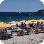
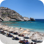
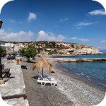
When traveling around Crete, it is not difficult to pay attention to the fact that most of the beaches there are relatively small and short. For this reason, people who are used to our national Baltic standards, where the sandy coast stretches for kilometers, may experience a special disappointment. However, fortunately, nothing is lost, because Crete in its rich arsenal of various beaches can boast of those that allow for long walks along the coast. One of them, our favorite is the Kommos beach located in the south of the central part of the island.
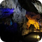
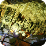
Although there are countless caves in Crete, only a few can be visited. Sfendoni is the largest cave open to the public. content comes from: http://www.crete.pl www.CRETE.pl
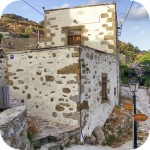
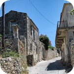
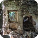
Only a few kilometers separate the bustling city of Rethymno from Mili, a village abandoned by its inhabitants. This place is also known as the village hidden in the gorge.
Information about one of the more known tourist cities of Crete, or about Malia. Description of attractions located in the city of Malia and a description of the specificity of this town.
The Lasithi Plateau is located about 70 kilometers from the capital of Crete - Heraklion. The average height at which the terrain of this plateau is located is 840 m above sea level.
One of the tourist attractions eagerly visited by people spending their holidays in Crete is the Dikte (Psychro) cave. The main factors that attract people to this cave are a rich and varied dripstone robe and a close connection with mythology.
Among the olive groves in the place called Logari, which is less than a kilometer from the village of Kritsa, there is a small Byzantine church of Panagia Kera from the 13th-14th centuries.
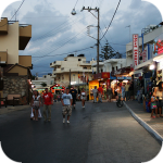
Stalida is located directly along the coast and is one of the most famous tourist destinations in Crete, which definitely comes alive with the advent of the tourist season
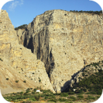
Most people crossing the route between Agios Nikolaos and Ierapetra will definitely notice the large crack which is marked by the mountain located east of this road. This majestic geological creation called Ha was probably created as a result of an earthquake.
Xerokambos is a small settlement in which you will find literally several taverns, and most of the buildings are single-storey and one-story houses. The big advantage of this beach is a gentle sandy descent to the sea.
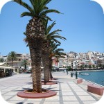
Agios Nikolaos (Άγιος Νικόλαος) is a small town with less than 20,000 inhabitants. permanent residents (according to statistical data from 2001). This city is the capital of the Lasithi nomos.
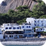
Although Elounda seems to be a sleepy fishing town to this day, however, appearances should not fool you, because this town and its surroundings can boast of probably the largest number of the best hotels.
Although Elounda seems to be a sleepy fishing town to this day, however, appearances should not fool you, because this town and its surroundings can boast of probably the largest number of the best hotels.
Stalida is located directly along the coast and is one of the most famous tourist destinations in Crete, which definitely comes alive with the advent of the tourist season
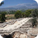
Zakros is the fourth-largest Minoan palace in Crete in importance and size. This latest found, built on the east coast of the island is located in the village of Káto Zákros.
Zakros is the fourth-largest Minoan palace in Crete in importance and size. This latest found, built on the east coast of the island is located in the village of Káto Zákros.
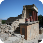
The first palace was built around 1900 BC. in the place where there was a quite impressive settlement whose remains were later transformed into the central part of the city.
The ruins of the ancient city of Itanos are located at the eastern tip of Crete, less than 3 kilometers north of the famous palm beach of Vai. Although there are also nice beaches at Itanos, unlike its well-known neighbor, this place does not attract crowds. There are either accidental stray tourists or excavation enthusiasts here.
Less than 10,000 population of Sitia makes the city the smallest in Crete. Some even go a step further and say perversely that it is rather the largest village of Crete.
Napoleon's house is one of the few typically tourist attractions in Ierapetra. About what could have happened here in the summer of 1798 and possibly how much in this legend is the truth we write in the article on the page below.
Moni Kapsa Monastery is one of the most interesting monasteries in Crete. Its massive buildings were erected on rocky, gray slopes surrounding the nearby Pervolakia Gorge.
poprawcie sobie adres strony na www.geocaching.com
dzięki temu serwisowi mozna dotrzec do na prawdę ciekawych miejsc na świecie :):)
Piotrek | www.crete.pl
2017-04-24 08:42:23
Ola dzięki za zwrócenie uwagi :) . Faktycznie dla skróconego adresu był przypisany zły certyfikat bezpieczeństwa i strona nie ładowała się. Teraz już powinno być ok.
gość Αδαμ
2017-04-25 21:04:01
Piękna grecka kapadocja
Byłem wraz z małżonką zobaczyliśmy ,zapiera dech, są to naprawdę ciekawe stożki które mało kto odwiedza polcamy.
Wypełnij poniższy formularz aby dodać komentarz
lub kliknij w poniższy link aby skorzystać z możliwosci komentowania przez facebooka: https://www.facebook.com/crete.poland/posts/10154463884197551
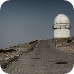
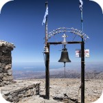
The observatory is located at the top of the Skinakas mountain at an altitude of 1750 m. The idea for its construction was born in 1984, soon after the construction of the road leading to the mountain began. It was a joint initiative of the Cretan University, the Foundation for Research and Technology - Hellas (FORTH) and the German Max-Planck-Institut für Extraterrestrische. These organizations work together to provide students with modern education in the field of astronomy, and support astronomical observations including extended sky research and objects such as comets or nebulae.
Napoleon's house is one of the few typically tourist attractions in Ierapetra. Hidden in the thicket of side streets, this building offers nothing more than the view of its modest and rather neglected facade.
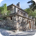
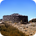
Traveling around the White Mountains or within the Psiloritis massif in Crete, you can come across small stone buildings, called mitata. Their characteristic round stone structure reminds some people of an igloo.
gość PiotrWie Dziś po raz pierwszy ( a jeździmy dużo od 2008 roku i dużo chodzimy po szlakach) widzieliśmy w Grecji ekipę przygotowującą szlak do sezonu. Nie była to co prawda zbyt duża ekipa - dwie osoby z motyką, sekatorem i niewielką piłą ręczną - ale zawsze coś - na wyspach Kanaryjskich ekipa to pierwszy z kosą spalinową a zanim kilka osób zmiatających resztki na bok. (...)
Attention mise en garde
Si vous louer un taxi par l'intermédiaire de Booking et que vous avez une société du nom de Canet Travel sur votre confirmation annulez directement votre réservation, le taxi ne viendra jamais mais esseyera d'encaisser la course... je ne suis pas le premier à qui cela arrive et en plus ils falsifient par après les documents de prise en charge... (...)


Komentarze
super miejsce:)
poprawcie sobie adres strony na www.geocaching.com
dzięki temu serwisowi mozna dotrzec do na prawdę ciekawych miejsc na świecie :):)
Ola dzięki za zwrócenie uwagi :) . Faktycznie dla skróconego adresu był przypisany zły certyfikat bezpieczeństwa i strona nie ładowała się. Teraz już powinno być ok.
Piękna grecka kapadocja
Byłem wraz z małżonką zobaczyliśmy ,zapiera dech, są to naprawdę ciekawe stożki które mało kto odwiedza polcamy.
Wypełnij poniższy formularz aby dodać komentarz
lub kliknij w poniższy link aby skorzystać z możliwosci komentowania przez facebooka:
https://www.facebook.com/crete.poland/posts/10154463884197551