 2024-08-22 20:52:38
Last Saturday, August 17, a serious accident occurred on the trail between Marmara Beach and Lykos. A 23-year-old tourist from Germany fell from a height of 15 meters from the rocks. Rescue services initially tried to reach him from the sea, but due to the large waves, approaching by boat turned out to be very dangerous. Finally, a land rescue operation was carried out. The seriously injured tourist was first taken to a medical point in Sfakia and then, after providing first aid, he was transported to a hospital in Chania where he was admitted to the Intensive Care Unit.

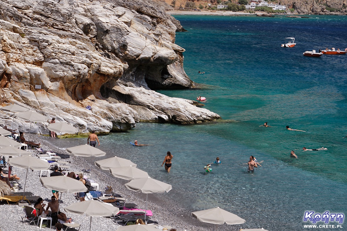
Marmara Beach is becoming more and more popular
Meanwhile, a few days after this accident, the issue of the safety of tourists moving along the path where the fatal accident occurred was raised. It is worth adding here that it is part of the E4 trail, which is exceptionally dangerous on the section between Marmara and Lykos. Every year, more and more tourists come to this region of Crete, who, in search of walking areas, go on foot from Loutro to the picturesque beach in Marmara. Some of the people who cover this trail are also tourists returning from the Aradena gorge towards Chora Sfakion. Many of them think that this is an easy walking path. Unfortunately, this is not the case, because this section of the trail runs along a cliff at a height of up to 30 meters. The path is very narrow and very exposed in places, so people who are not prepared for such a route may have difficulty covering it. The latest incident showed that a small mistake or a bad decision can have very serious consequences.
Mountain guides emphasize that unfortunately, at the entrance to the trail there is no information about the characteristics of the route and the level of difficulty, so people entering this part of the trail are convinced that they will have an easy and safe walk. You can meet people with children, in bad shoes, without headgear, and sometimes even those who enter the trail after drinking alcohol. An additional difficulty in the summer is the temperature and the scorching sun. On the day of the accident, it was 35 degrees, so it is easy to predict that staying on the rocks at such a temperature without proper preparation can quickly end in a stroke, dizziness, and consequently a fall from the rocks. The trail in this place is difficult, it requires good shoes, concentration, taking appropriate supplies of water and having experience in passing such places.

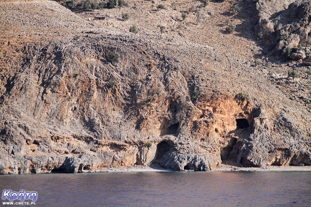
Only a trained eye will probably notice the trail leading to Marmara Beach in the photo.
In addition to information on the difficulty level of the trail, there is also a lack of markings regarding proper preparation. There is also no even minimal protection to make it easier to pass the most difficult places. Mountain guides emphasize that putting up such markings causes some people to give up on passing this section.
The beach in Marmara has been under siege during the season for several years. This place and the trail leading here have so far been visited only by hikers who managed to get there on foot and were prepared for such a journey. Currently, however, it is visited by people who come to Marmara on boats sailing from Loutro or Chora Sfakion. Some of them decide to return to the accommodation base on foot, not expecting any major difficulties along the way.
The president of the Chania Mountaineering Association, Stavros Badoyiannis, is very categorical on this subject: "too many visitors have no idea what a mountain path is, have no information about the rules to be followed, are not sufficiently informed about the characteristics of the route and are not properly prepared for mountain tourism. It would be good if the Greek state put up information boards with basic, useful information about the path and the safety rules to be followed. […] No mountain path is intended for people who do not go mountaineering. On all mountain paths in Crete there are rules that cannot be broken because it may result in death. Mountaineering is not a game and carries risks. "
Komentarze
Już przy innej okazji pisałem - nie rozumiem dlaczego zlikwidowano oznaczenia na alternatywnym obejściu - do 2014 był opisany jako "Easy to Loutro" Chodziliśmy nią kilkukrotnie by idąc z 25 kg plecakiem ominąć ten klif, ostatnio w 2019. Ta ścieżka nadal istnieje - jest nawet widoczna na zdjęciu satelitarnym w Google Maps - po przelączeniu na widok z satelity zobaczycie widoczną ścieżkę zaczynającą się jakieś 400m za plazą Marmara i prowadzącą do ostrego zakrętu na drodze z Loutro do Livaniany. Radzę wszystkim omijać tamtędy ten klif - droga jest bezpieczna i łatwa.
Dzięki za wskazówki Piotrze
Warto znać alternatywną ścieżkę. Raz udało mi się przejść tą ścieżką, na której zdarzają się wypadki. Mimo dobrego obuwia i przygotowania fizycznego było to dla mnie przeżycie. Dlatego po przejściu wąwozu Aradena nie zdecydowałam się na powrót do Loutro tą ścieżką i wybrałam łódź. Dziękuję za wskazówki
Wypełnij poniższy formularz aby dodać komentarz
lub kliknij w poniższy link aby skorzystać z możliwosci komentowania przez facebooka:
https://www.facebook.com/crete.poland/posts/900744245433174