Serwis wymaga plików cookies do prawidłowego działania strony. Korzystanie z serwisu bez zmiany ustawień dla plików cookies oznacza, że będą one zapisywane w pamięci urządzenia. Ustawienia te można zmieniać w przeglądarce internetowej.
The best Polish website dedicated to the Greek island Crete and to a small extent of continental Greece. You will find useful information related to visiting Crete that goes beyond the offer of optional tours. On the website you will also find descriptions of the most interesting places that we visited by visiting this largest Greek island. The content complements the current news, photographs and recipes of Greek cuisine.
High summer temperatures in Greece do not surprise anyone, but for several days local news sites have been warning about an impending heat wave. The mercury columns in the thermometers are to start climbing up from next Tuesday, and meteorologists expect values oscillating around 40 degrees in the shade in many places in Greece. Some places, such as Larissa located in the continental part, expect even 43 degrees. Temperatures are expected to rise even higher on Friday and Saturday. What may prove to be the most difficult is the expected duration of this hot wave, because meteorologists say up to 10 days.
Unfortunately, prolonged very high temperatures are not only a health hazard for many people, they will also have a negative impact on agricultural crops and create a huge fire hazard. Tomorrow in Crete, in three prefectures, as many as the fourth category of danger is expected. For this reason, one should unfortunately expect the introduction of bans on entry to some forest areas and those marked as Natura2000. Already last year, the authorities of the prefecture of Chania created a list of places where there will be an automatic ban on entry and movement when the fire risk in the prefecture increases to the 4th or 5th degree.
At Step 4, sections of the E4 route between Falasarna and Balos, Krios - Elafonisi, Sougia-Gialiskari, Sougia-AgiaRoumeli are to be closed. At Step 5, the ban will apply to the Samaria, Imbros, Aradena, Topolia and Agia Irini Gorges, as well as the path to the Balos Lagoon, and the trail to the Kalergi Refuge.
Scientists earlier this year warned that, in addition to climate change, we are now entering a phase of the periodic El Niño phenomenon. It will cause the temperature of the oceans to rise even higher, which will result in higher air temperatures over much of the planet. According to Kostas Lagouvardo, director of research at the National Observatory in Athens, “towards the end of the year, in the summer in the southern hemisphere, we are likely to see much higher temperatures. Perhaps now we will witness prolonged temperatures that will always be well above normal on a global level. "
Upały w Grecji jakoś znośniejsze niż np. na Cyprze
A już Rodos ze swoim meltemi to mi się z Kanarami (zwł. Fuerteventurą) kojarzy. Na Krecie w okresie 20-30 sierpnia (Stalida) w hoteliku przy plaży nie włączaliśmy w ogóle klimy nawet. Ale upał w Alanyi, na Cyprze czy w Kalabrii jest nieznośny. Nie chodzi o temperaturę ale duzą wilgotnosc i brak wiatru.
gość PiotrWie
2023-07-15 21:33:21
Na Rodos byliśmy w drugim i trzecim tygodniu września, przez pierwszy tydzień do 17 nie dawało się chodzić na plażę bo piasek parzył przez buty. W drugim tygodniu było już lepiej - temperatury trochę spadły. Z tym Meltemi na Rodos to coś Ci się pomyliło, to jest północny wiatr z otwartego morza, dlatego chłodny, występuje przede wszystkim na Cyklach, na północ od Rodos nie ma za bardzo otwartego morza.
Wypełnij poniższy formularz aby dodać komentarz
lub kliknij w poniższy link aby skorzystać z możliwosci komentowania przez facebooka: https://www.facebook.com/crete.poland/posts/653675543473380
gość PiotrWie Jeździliśmy na Kretę od 2008r, bywały lata że byliśmy w kilku kawałkach w sumie czterdzieści kilka dni ( samoloty z Wrocławia latały w piątek wieczorem tak że można było polecieć po pracy, powrotem był w poniedziałek w nocy więc za 11 dni urlopu można było być 17 dni, jak się zaplanowało z jakimś świętem to można było być 2 x 17 dni i raz 10 dni) i z roku na rok było coraz więcej ludzi - nie tylko na plażach ale ... (...)
Czy wyspa jest w stanie pomieścić 15 mln turystów, zapewne tak. Pytanie moje: skąd będzie woda?! Jak już brakuje, tama na Aposelemis sucha, gdzie ścieki popłyną, gdzie będą składowane śmieci??? Smutne, że wyspa zamienia się na globalną destynację.. rozumiem, że pieniądze są ważne ale żeby dewastować naturalne tereny np.triopetra, plakias etc... przykro
Można próbować zrozumieć ludzi, którzy z tego żyją. Można też puścić ludzi na żywioł i nie zajmować się takimi głupotami, jak ofiary śmiertelne. Samaria nie jest szlakiem w 100% bezpiecznym (który szlak jest), to głęboki wąwóz, narażony na erozyjne osunięcia skał. Poza ty, to jest region aktywny sejsmicznie i dość kapryśny pogodowo.
Myślę, że tu nie ma miejsca na ustępstwa. (...)
gość PiotrWie Dziś po raz pierwszy ( a jeździmy dużo od 2008 roku i dużo chodzimy po szlakach) widzieliśmy w Grecji ekipę przygotowującą szlak do sezonu. Nie była to co prawda zbyt duża ekipa - dwie osoby z motyką, sekatorem i niewielką piłą ręczną - ale zawsze coś - na wyspach Kanaryjskich ekipa to pierwszy z kosą spalinową a zanim kilka osób zmiatających resztki na bok. (...)
 2023-07-09 20:48:37
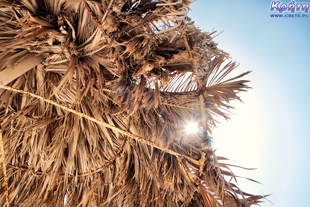

Komentarze
Upały w Grecji jakoś znośniejsze niż np. na Cyprze
A już Rodos ze swoim meltemi to mi się z Kanarami (zwł. Fuerteventurą) kojarzy. Na Krecie w okresie 20-30 sierpnia (Stalida) w hoteliku przy plaży nie włączaliśmy w ogóle klimy nawet. Ale upał w Alanyi, na Cyprze czy w Kalabrii jest nieznośny. Nie chodzi o temperaturę ale duzą wilgotnosc i brak wiatru.
Na Rodos byliśmy w drugim i trzecim tygodniu września, przez pierwszy tydzień do 17 nie dawało się chodzić na plażę bo piasek parzył przez buty. W drugim tygodniu było już lepiej - temperatury trochę spadły. Z tym Meltemi na Rodos to coś Ci się pomyliło, to jest północny wiatr z otwartego morza, dlatego chłodny, występuje przede wszystkim na Cyklach, na północ od Rodos nie ma za bardzo otwartego morza.
Wypełnij poniższy formularz aby dodać komentarz
lub kliknij w poniższy link aby skorzystać z możliwosci komentowania przez facebooka:
https://www.facebook.com/crete.poland/posts/653675543473380