Najnowsze komentarze:
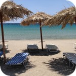
: W Jeorjopouli montowali parasole kilka dni temu. No jestem ciekawa czy teraz będą demontować.
gość PiotrWie : Nam się podoba - może znowu da się jeździć na Kretę. Miłośników leżaków zapraszamy z powrotem na północne wybrzeże.
: Bardzo się cieszę. Mnie to odpowiada, bo nie znoszę głośnej muzyki na plaży i coraz trudniej było znaleźć miejsce bez leżaków. Jak ktoś chce leżaki to zapewne znajdzie odpowiednie miejsce.
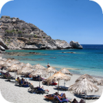
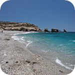
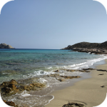
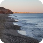
: W Falasarnie byłam ostatnio jakieś 2-3 lata temu. Leżak na leżaku, głośna muzyka z baru, co najmniej dwa kłady, kursujące tam i z powrotem co kilka minut, generujace niesamowity hałas i smród.... a pamiętam jeszcze czasy, jak można było na tej plaży rozłożyć się z kocykiem w ciszy i spokoju, eh... no cóż może i szkoda miejsc pracy, ale ludzie wszystko potrafią zniszczyć i nie znają umiaru jeśli chodzi o kasę, ... (...)
: Bardzo dobrze. Jak ktoś nie chce wypożyczać leżaka, to miejsca musi szukać na drugim końcu wyspy i w najbrzydszej okolicy.
: Małe sprostowanie.
Określenie "Fałszywe plaże" jest błędne. Chodzi tu o "Niezadeptane plaże" (gr. Απάτητες παραλίες) ;)
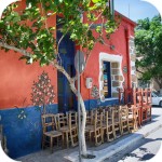
: To znaczy, że z Falasarny znikną baldachimy do leżenia? Trochę rewolucja.
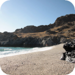
: Szkoda. Ale wiadomo, gdzie człowiek tam szkody. Na szczęście miałem przyjemność plażować na wyspie. Jest mega pięknie. Plaże zwłaszcza Golden beach zostaje na zawsze w pamięci.
: Τέλειο
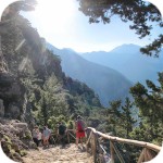
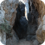
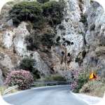
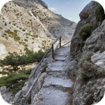
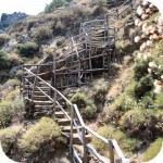
gość PiotrWie: Z 10 lat temu zamalowano taki drogowskaz, nie wiem czemu. Jak ścieżka z Marmary podejdzie do klifu trzeba szukać odgałęzienia w górę,jak się dobrze przyjrzysz znajdziesz na skale ślad po zamalowanych drogowskazach, idziesz w górę łatwymi niewielkimi zakosami po płytach. Dochodzisz do szlaku Loutro - Livadiana. (...)
Gosia | crete.pl : Myślimy o takiej objazdówce, raczej nie będzie to ten rok, ale plany mamy. Szlak z filmu robiliśmy na przełomie sierpnia i września. Nie pamiętam aby było takie oznakowania, ludzie idą skrajem klifu, straszne miejsce dla mnie z moim lękiem wysokości.
gość PiotrWie : I mam jeszcze dwa pytania - po pierwsze w jakim miesiącu tak było i po drugie - czy oznakowali z powrotem wersję " easy to Loutro " czy dalej pomiędzy Marmarą a Finikas jest ta ścieżka samym skrajem klifu?
gość PiotrWie : Przemyślcie wyjazd na mniej oblężone wyspy - nie jest to logistycznie skomplikowane. (...)
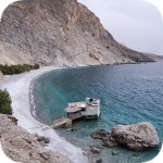
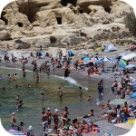
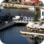
Gosia | crete.pl : Można się zdziwić prawda? Biznes kwitnie, taxi boaty kursują jak oszalałe przywożąc do Marmary turystów z Chora Sfakion i okolic. A w tawernie przy Marmarze wszystkie stoliki są pozajmowane albo już zarezerwowane. My dostaliśmy stolik chyba tylko dlatego, że kelner zlitował się jak zobaczył nasz zmęczone facjaty po zejściu ze szlaku.
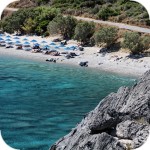
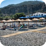
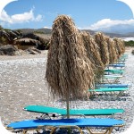
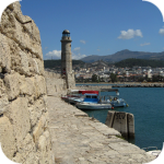
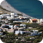
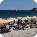
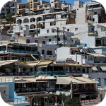
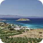
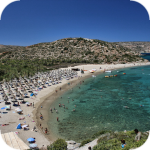
gość PiotrWie: Od kiedy plaża Marmara jest tak tragicznie zastawiona łóżkami i parasolami?
Przy okazji polecam inny szlak w pobliżu - Agios Ioanis - Agios Pavlos Beach
gość PiotrWie : Tylko że wtedy trzeba będzie przełożyć pierwszy wyjazd w roku z połowy marca na połowę lutego - niestety wtedy dzień jest dość krótki.
: Dokładnie tak właśnie spędzam kwietniowy urlop na Krecie i jest cudnie
: https://youtu.be/nkUFqIvmrEE?si=fiJ2H8A7GvPCG44Y ❤️
gość PiotrWie: Od kilkunastu lat unikamy czerwca, lipca i sierpnia, ale jak zrobi się to popularne to chyba przestawimy się na kwiecień i październik
gość dodekanezowiec: W Grecji (a mam tu na myśli swoje ulubione wyspy czyli Kos, Kreta, Rodos) jednak bym preferował sezon (15 czerwca - 15 września). (...)
: Kto by się spodziewał, że zmiana klimatu na coś się przyda?
Gosia | crete.pl : Bardzo się cieszymy :)
Sami też mamy często takie spostrzeżenia w tawernach :D
: Czerwiec to wg mnie najlepszy czas na wakacje np. w Grecji czy Chorwacji. Ze względu na bombelki, staramy się wyjeżdżać w ostatnim tygodniu czerwca. Choć byłem na Krecie w 2021r. w drugim tygodniu lipca to pogoda była idealna, a spotkałem naszych rodaków, którzy będąc w czerwcu mieli wówczas straszne upały.
: Upały to też ale ogromna ilość turystów sprawiają, że w sezonie to nie jest wypoczynek tylko walka: o miejsce na plaży, o dobre miejsce podczas zwiedzania aby zrobić zdjęcie. To podwójnie męczące.
:


Komentarze
super miejsce:)
poprawcie sobie adres strony na www.geocaching.com
dzięki temu serwisowi mozna dotrzec do na prawdę ciekawych miejsc na świecie :):)
Ola dzięki za zwrócenie uwagi :) . Faktycznie dla skróconego adresu był przypisany zły certyfikat bezpieczeństwa i strona nie ładowała się. Teraz już powinno być ok.
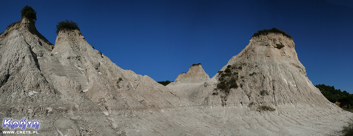
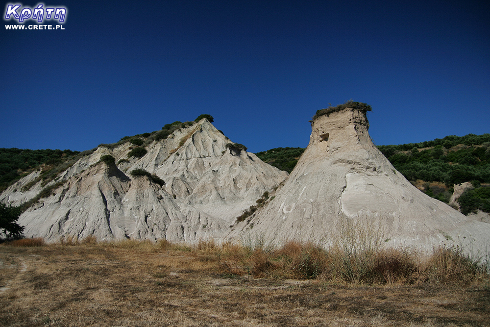
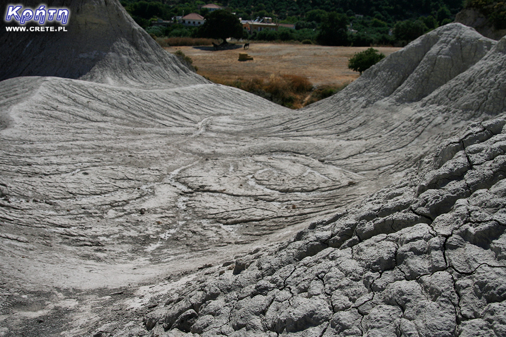
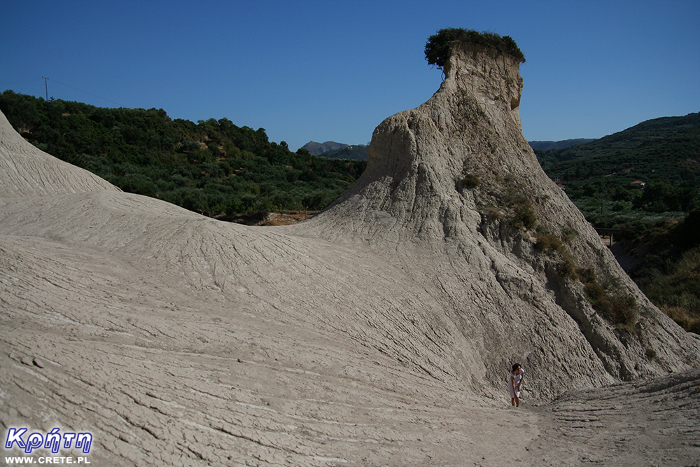
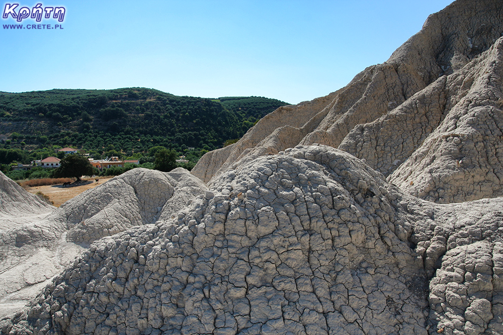
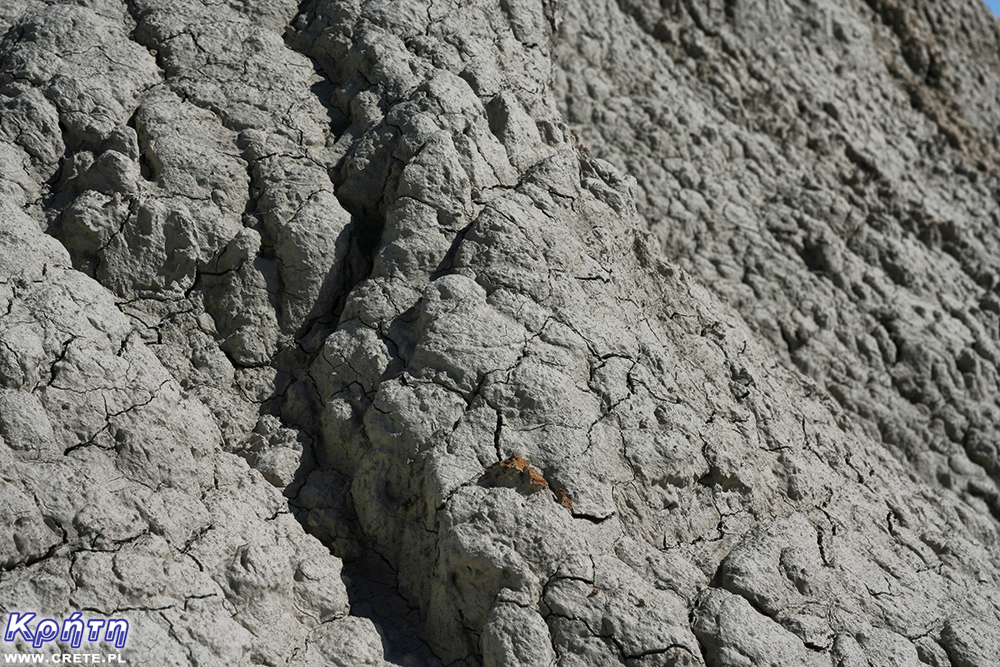
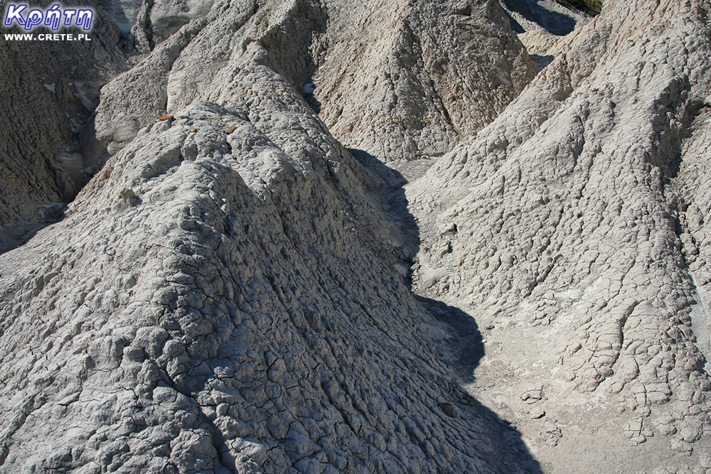
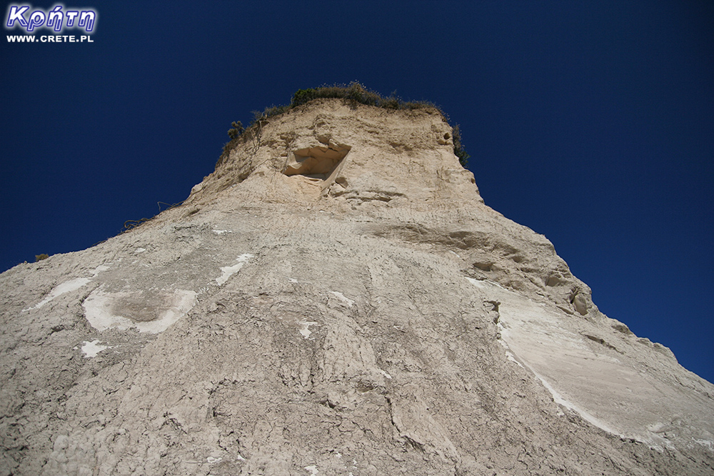
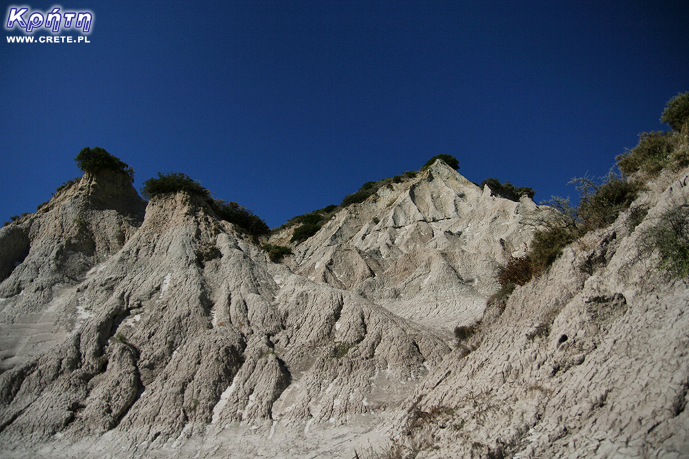
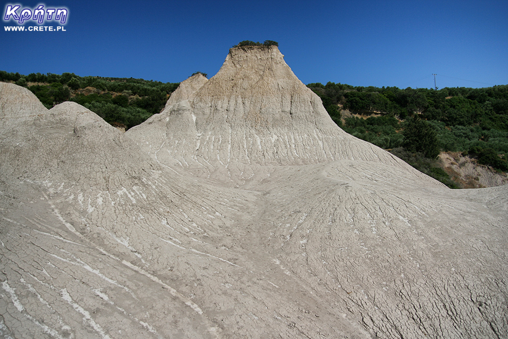
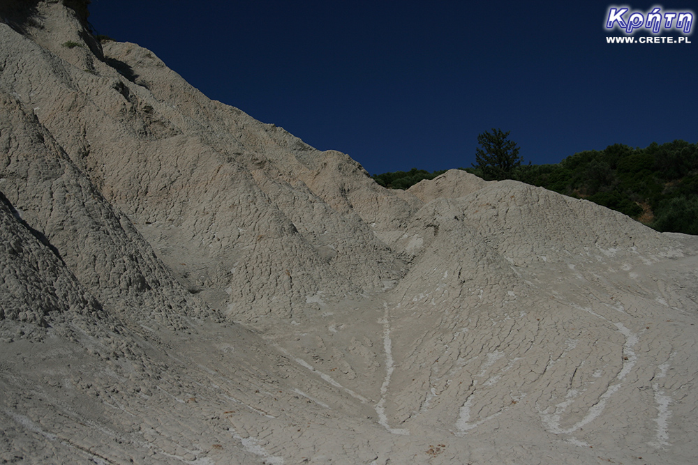
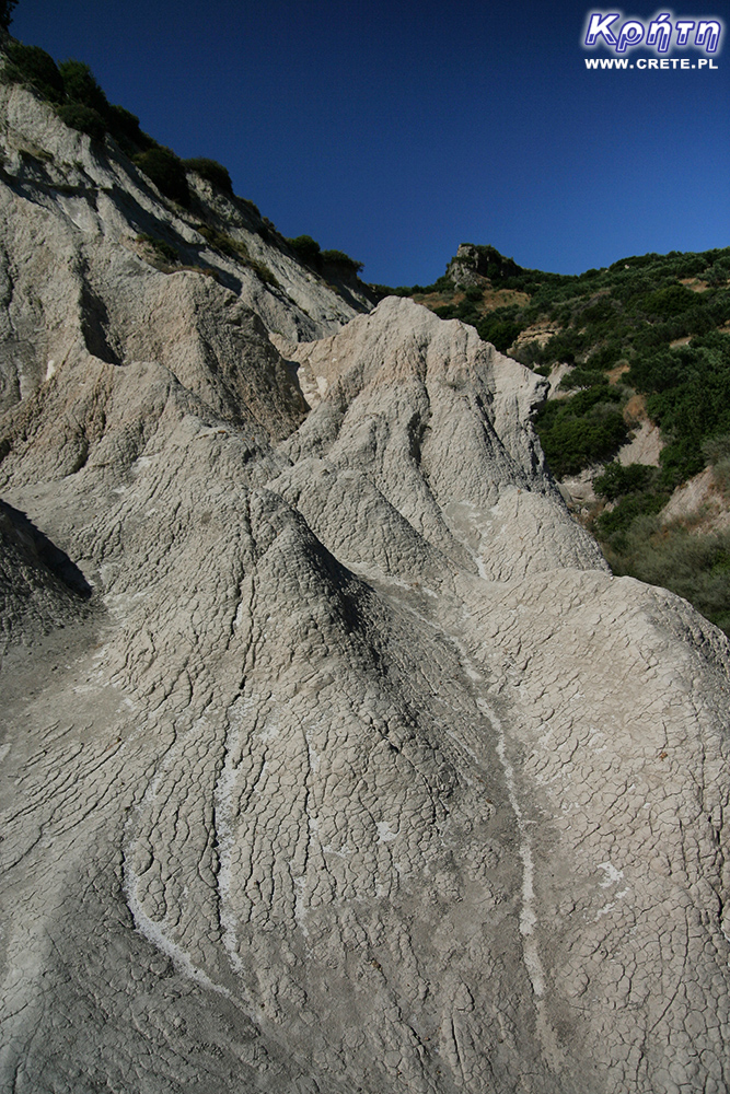
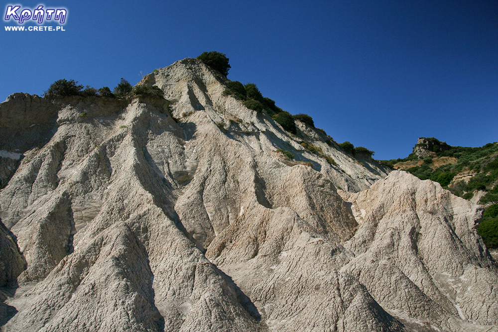
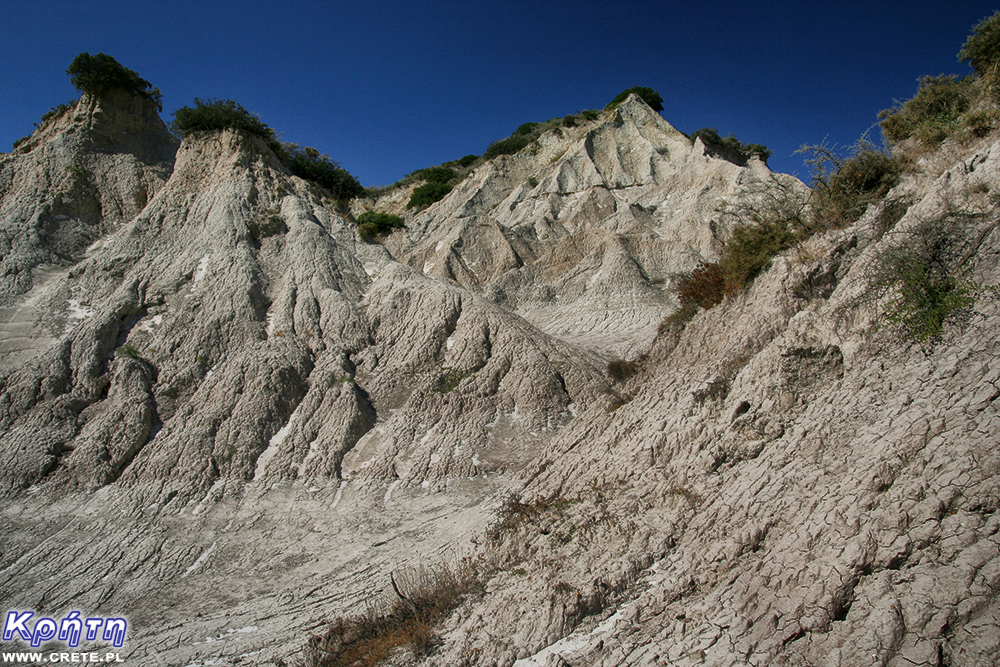
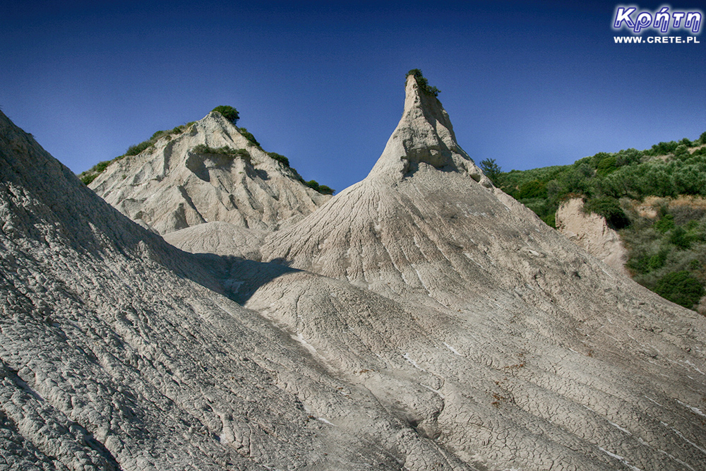
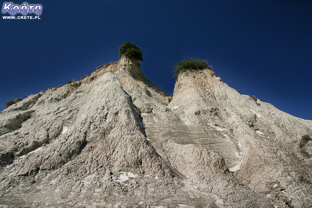
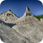
Piękna grecka kapadocja
Byłem wraz z małżonką zobaczyliśmy ,zapiera dech, są to naprawdę ciekawe stożki które mało kto odwiedza polcamy.
Wypełnij poniższy formularz aby dodać komentarz
lub kliknij w poniższy link aby skorzystać z możliwosci komentowania przez facebooka:
https://www.facebook.com/crete.poland/posts/10154463884197551